Bike from Behrend to the Bayfront (and Beyond)

By Heather Cass Publications Manager, Penn State Behrend

Happy World Bicycle Day!

The United Nations officially designated June 3 as World Bicycle Day back in 2018, recognizing the bicycle as “a simple, affordable, reliable, clean and environmentally fit sustainable means of transport.”

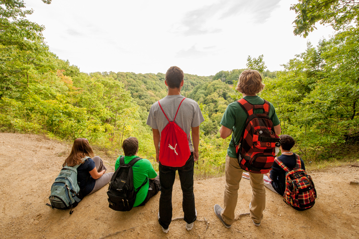
With direct access to the Bayfront Connector Trail, Penn State Behrend is a great place to hop on two wheels and celebrate World Bicycle Day.

I’ve been running and biking the Bayfront Connector Trail for years. I wrote about in 2014, and it’s still one of Erie’s best-kept secrets.

How to Get on the Trail from Behrend

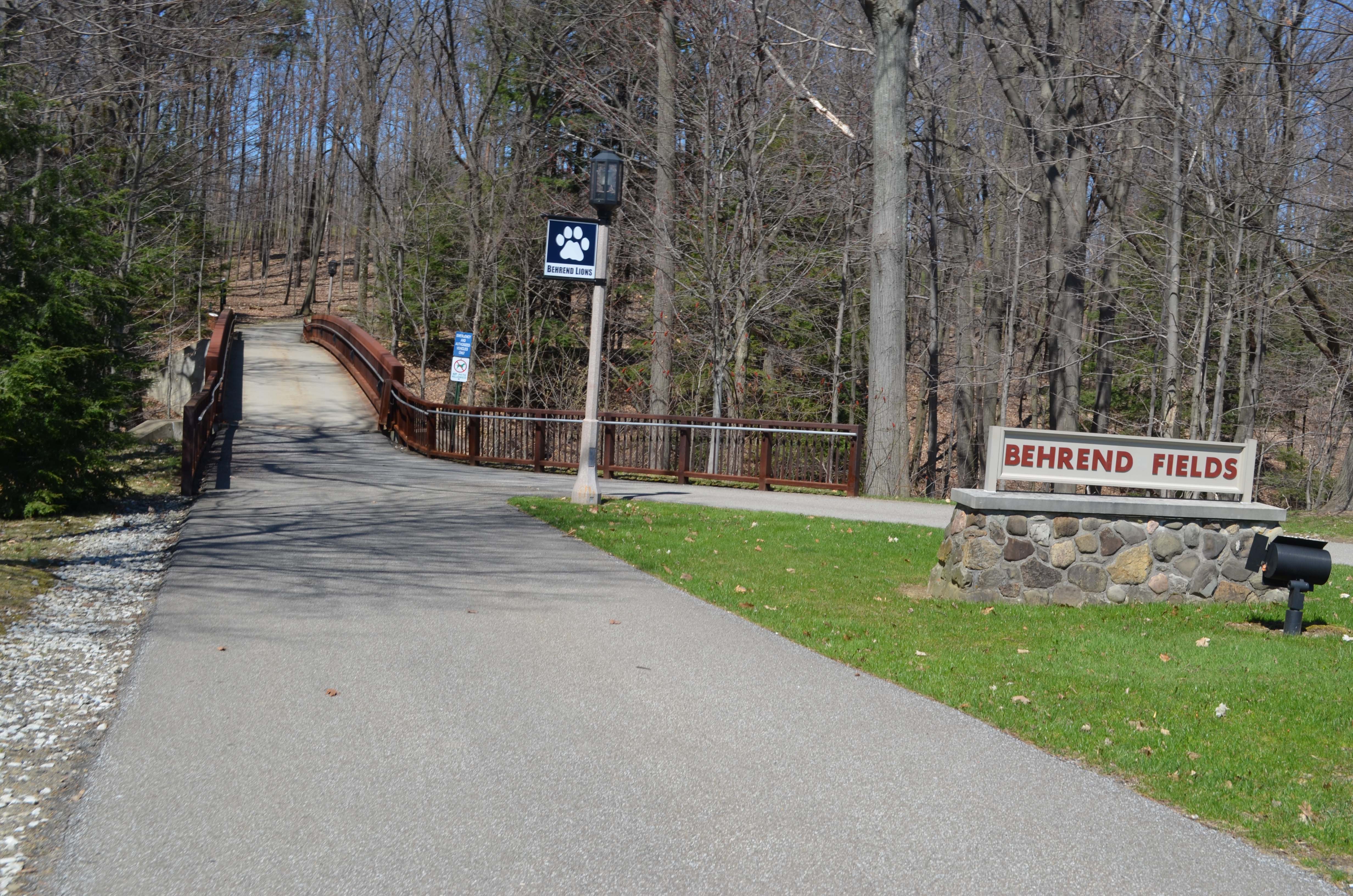
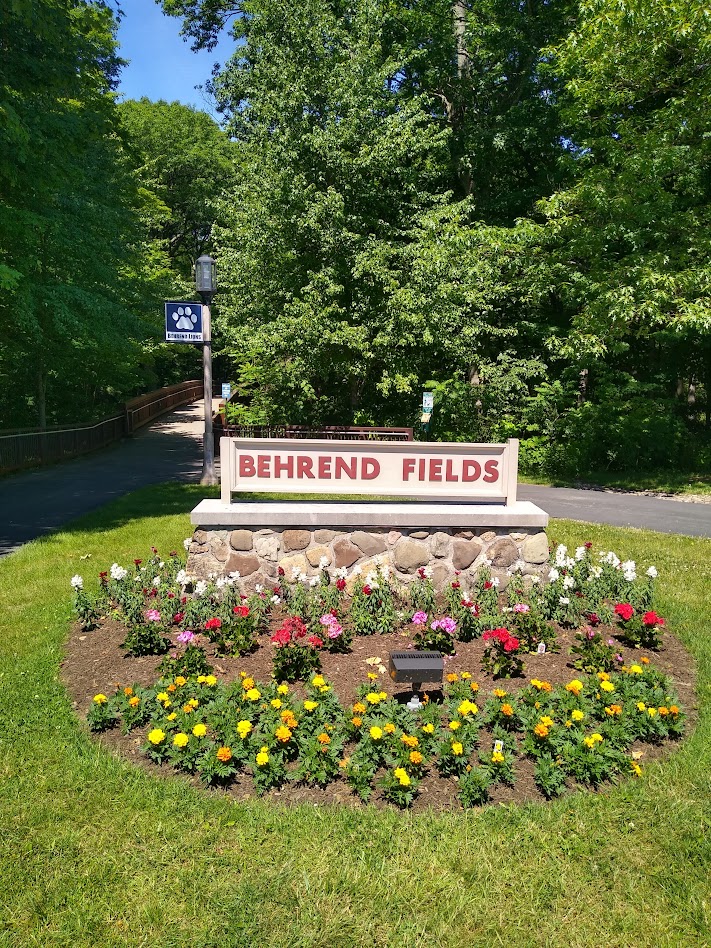
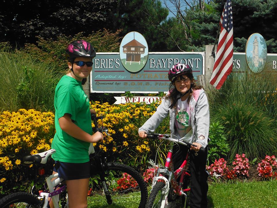
The Bayfront Connector Trail entrance is in the back left corner of the Erie Lot, by the sign that says “Behrend Fields.”

You can also pick up the trail from the college’s Logan House on Station Road, where there are designated visitor parking spots. The trailhead is to the left of the parking lot.

Where You Can Go (Mileage)

Distance via the Bayfront Connector Trail from Behrend (Erie Lot entrance) to…

  • Shannon Road — 1 mile
  • 38th Street — 1.5 miles
  • McClelland Ave. — 2 miles
  • Broad Street — 3.5 miles
  • 12th Street — 4.5 miles
  • 6th Street — 5 miles
  • Bayfront Parkway — 5.5 miles
  • Dobbin’s Landing (foot of State St.) — 6.5 miles
  • Frontier Park — 8 miles

The paved Bayfront Connector Trail ends at Frontier Park in west Erie, but cyclists can continue west on Sixth Street’s designated bike lane to Presque Isle State Park, making it an 11-mile one-way trip from Behrend.

Want more? A loop around Presque Isle State Park will add 13 more scenic miles to your ride.

If you go all the way to Presque Isle, you’ve definitely earned a stop at Sara’s — an Erie institution at the entrance to Presque Isle. There you’ll find foot-long Smith’s hot dogs, chicken sandwiches, curly fries, ice cream, etc.  Try one of Sara’s signature orange sherbert and vanilla ice cream twist cones or a thick chocolate milkshake.   

Heads Up: Construction Zone Ahead

There is active construction on the bayfront right now, and it will continue all summer.

PennDOT is in the middle of a major overhaul of the Central Bayfront Parkway — adding roundabouts at Sassafras Street and Holland Street, an overhead pedestrian bridge, upgrades to the multi-use trail, and more. It’s a significant project that will ultimately make the bayfront more accessible for pedestrians and cyclists.

For now, though, it’s a hassle. Expect some congestion, particularly in the stretch from Blasco Library to the Bayfront Convention Center. Follow the detour signs — the trail is still navigable, just pay attention and be patient. Once you’re past that section, it’s smooth sailing to the bayfront and beyond.

(For the latest project updates and detour maps, visit the PennDOT Central Bayfront Parkway Project page.)

What You’ll See

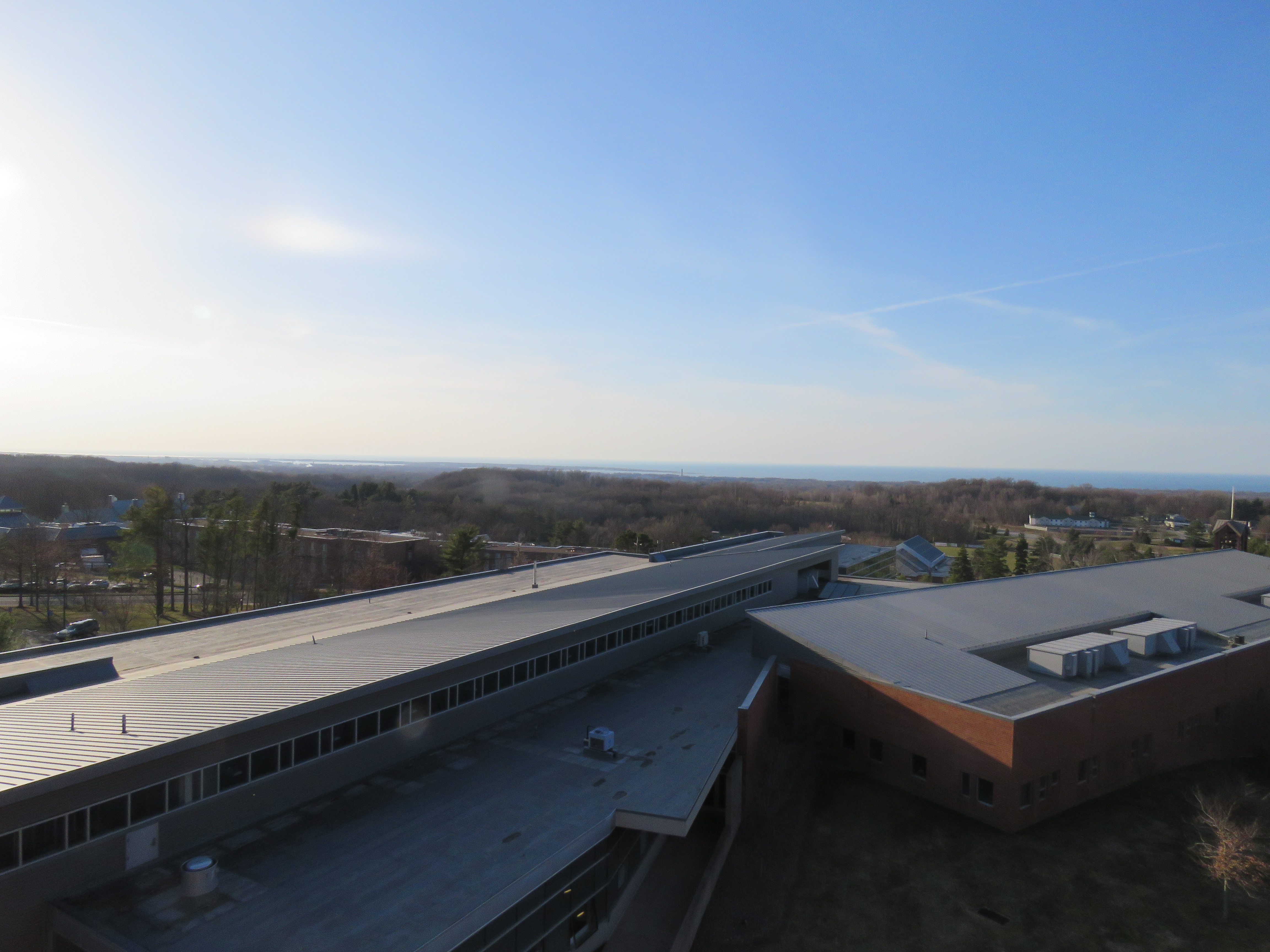
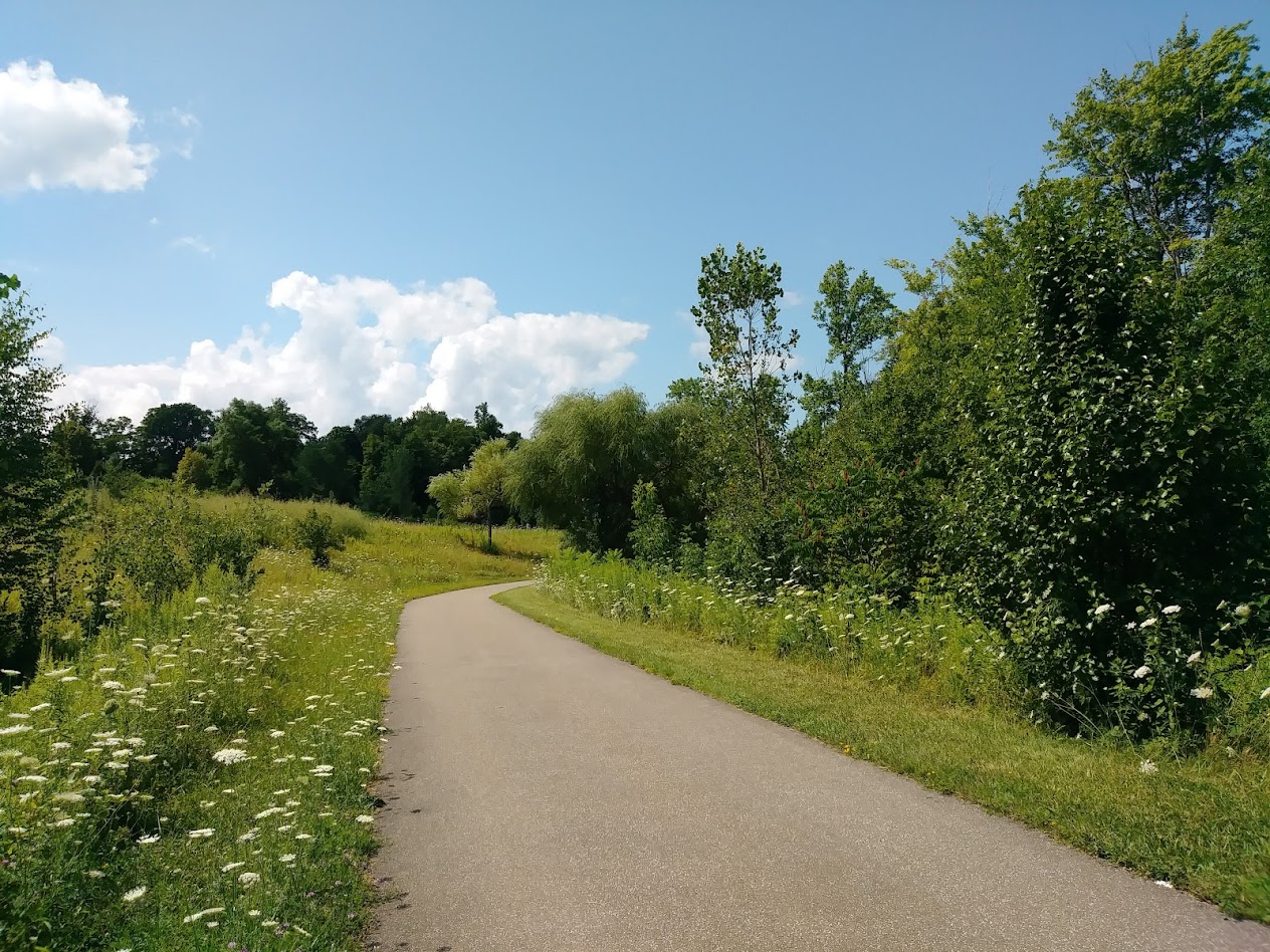
The scenery changes dramatically over 11 miles — from the manicured green lawns of Penn State Behrend, to an urban stretch with factories to a stunning bayfront with wide-open views of Lake Erie. The Bayfront Connector is a designated National Scenic Byway and part of the Great Lakes Seaway Trail, and once you ride along the bay, you’ll understand why.

A Note About Elevation

Good news: The trail is all downhill from Behrend. Bad news: It’s all uphill on the way back — when you’re good and tired.

Pro tip: Arrange for a ride back with a friend who has a truck or a large trunk, or hop aboard the “e,” the city of Erie’s public bus system. City buses are equipped with bike racks on the front and they are FREE for Behrend students to ride. Just show the driver your ID and make sure you’re on a bus that returns to Behrend’s Reed Union Building.

What You Need to Know

  • The trail may appear to end at various intersections. It doesn’t. Look ahead and you’ll see where it picks back up.
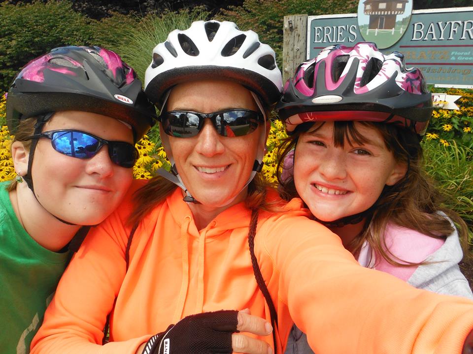
  • Safety: I’ve biked this trail more times than I can count — solo, with friends, and with my kids, who are now both Penn State Behrend graduates (wow, 12 years flies). I’ve always felt safe, but the trail does pass through some wooded stretches and urban areas. Take a friend and a fully charged phone. Don’t ride after dark — the only section of this trail that is lit is the stretch on Behrend’s campus between the college and Logan House.
  • Trail surface: Mostly blacktop — great for biking, easier on the joints than concrete.
  • Winter: The trail is not maintained in winter. Bad for bikers. Great for cross-country skiers.

Questions? I’ve covered every inch of this trail by foot, bike, and car — feel free to reach out at hjc13@psu.edu.

Eight ways to enjoy a spring day at Behrend

By Heather Cass, Publications Manager, Penn State Behrend

Spring has finally sprung and it looks like we will be enjoying some warm and sunny weather all week! Here are eight great ways to get outdoors and make the most of a beautiful spring day at Penn State Behrend.

*** Don’t forget to mask up; masks are still required at all times on campus, even outdoors. Photos below were taken prior to January 2020 or were taken with high social distancing measures in place. ***

disc golf

Play a round of disc golf. Penn State Behrend is home to a 9-hole disc golf course that starts in front of the tennis courts. Students, faculty, and staff can borrow discs for free at the Junker Center. Just ask the student worker at either entrance desks. Never played? It’s not hard to learn. For instructions, check out this story or this how-to video.

This slideshow requires JavaScript.

Have a picnic. If there is no event going on (and there aren’t many right now), Wilson Picnic Grove, adjacent to the Wilson Lot, is available for use by the Behrend community. It’s open air and big enough to allow for social distancing.

IMG_20200618_093051030

Go to the gorge. Wintergreen Gorge on the edge of campus has winding wooded paths, gorgeous vista views and, if you walk down far enough, a babbling creek to wade in or skip rocks. There’s no better place to enjoy a spring day than in the gorge. Access it from trailheads behind Trippe Hall or in the back corner of the Prischak Lot.

Bayfront Connector Trail (1)_Tagged

Take a walk or run. The paved Bayfront Connector Trail starts at the corner of the Erie Lot and runs all the way to Erie’s bayfront (about 8 miles). The path meanders along the Bayfront Connector through fields, marshy areas, woods, and more. For more details, see this story. Need a 5K route? Check out this story from the archives.

This slideshow requires JavaScript.

Play some games. Behrend has outdoor ping-pong tables (in front of Reed, behind Trippe) and a permanent cornhole game (behind Reed) as well as cornhole boards that you can check out and set up anywhere. You can borrow equipment for any of these games at the Reed Union Building desk with a University ID. They also have other lawn games, including giant Jenga and hula hoops, as well as checkers and chess pieces for the tables in front of Reed.

hanging out2

Read/study outside. Big test or paper coming up? Find a spot to work outdoors. There are tables outside most buildings and in the Wilson Picnic Grove, or you can just hang a hammock or spread out a blanket under your favorite tree. Behrend has plenty to choose from.

Erie sign

Hitch a ride to the bayfront. If you have a car, hop on the Bayfront Connector and take a walk along Erie’s bayfront. Park at the Blasco Library or near Dobbin’s Landing and take the bayfront trail along the waterfront. Cross the Bayfront Highway at the light at Liberty Park and take the ramp/walkway to Second Street to walk along the bluffs and take a photo at the new Erie sign. (About a 3-mile/1-hour walk). Just follow the bluffs/trail back down to State Street to return to your car. Don’t forget, you can take a city bus, too. See the RUB Desk for bus schedules.

views

Watch the sun set from the parking lot. The top of the Burke Parking Deck is the best place on campus to catch a gorgeous Erie sunset (or sunrise, but we know few students are early risers). It offers a wide, birds-eye view of the entire bayfront and, on a clear day, you can even see Presque Isle.

Connecting Behrend to the Bayfront and beyond – Hit the trail!

DSC_0162
By Heather Cass
Publications & Design Coordinator, Penn State Behrend

I’m an avid runner and I live just a few miles from Penn State Behrend. Several years ago, when the Commonwealth was clearing land to make way for the Bayfront Connector, they ruined some of my best running routes. I harbored a grudge against the Bayfront Connector for a while because of that. But then, persuaded by the convenience of traveling to downtown Erie in 10 minutes, I reluctantly began using the road and noticed there was a meandering blacktopped path to the right of the road.

What’s this? Could they have thought of the runners and walkers and bikers? Could it actually run the entire length of the road? No, they wouldn’t have thought of us.

(Yes, I do tend to be skeptical, but in my defense, I worked for the newspaper for fifteen years and you just kinda end up that way when you’re a journalist).

I’m happy to tell you that I was dead wrong.

Trail history

Indeed, there is a wide paved recreational path (similar to the Multipurpose trail at Presque Isle State Park) that runs continuously alongside the Bayfront Connector from Penn State Behrend to Frontier Park on Erie’s west side.

The idea for a landscaped trail alongside the road took root during PennDOT’s public hearings about the planned connector.

“The trail really was a whole community effort,” said Ray Schreckengost, executive director of the Erie Western Pennsylvania Port Authority. “Bill Petit was the district engineer who incorporated it into the design.”

“There was a rallying cry from the community to ‘humanize the connector,'” Petit said. “We started to rethink the project, knowing that we needed to do something special.”

A committee of various interested community members formed and presented ideas to PennDOT. Soon, the meandering trail featured landscaping, decorative noise walls and stonemasonry dividers along the connector, was part of the plan Petit said.

How to get on the trail from Behrend

The Bayfront Connector trail entrance is in the back left corner of the Erie Lot, by the sign that says “Behrend Fields.”

You can also get on the trail from the Logan House on Station Road. Trailhead is to the left of the parking lot.

Where you can go (and mileage)

Distance via the Bayfront Connector Trail from Behrend (Erie lot entrance) to….

Shannon Road — 1 mile

38th Street — 1.5 miles

McClelland Ave. – 2 miles

Broad Street – 3.5 miles

12th Street – 4.5 miles

6th Street – 5 miles

Bayfront Parkway – 5.5 miles

Dobbin’s Landing (foot of State St.) – 6.5 miles

Frontier Park – 8 miles

The paved path ends at Frontier Park, but you can ride/run/walk down to Sixth Street and use the bikeway lane all the way to Presque Isle State Park for an 11-mile (one-way) trip from Behrend.

Here’s a map of the entire Bayfront Connector Trail  (with mileage markers) from Behrend to Sara’s restaurant at the foot of Presque Isle State Park.

bayfront

It’s about 5.5 miles from Behrend to this sign at the foot of the bayfront where the Bayfront Connector meets the Bayfront Parkway (trail continues along Parkway).

It’s about 6.5 miles from Behrend to Dobbin’s Landing (above) at the foot of State Street.

It’s about 11 miles if you go all the way to Sara’s at the foot of Presque Isle State Park. Bring some money so you can refuel with a foot-long Smith’s hot dog, curly fries, and ice cream!

What you’ll see

There’s much more to be seen than grass and trees. It changes from the manicured green lawns of Penn State Behrend to an inner-city setting with factories and 6-lane intersections to a bustling bayfront with gorgeous lake views.

The Bayfront Connector has been designated a National Scenic Byway and is part of the Great Lakes Seaway Trail, owing to the scenic vistas and intrinsic qualities that make it different from your run-of-the-mill ribbon of concrete slicing the landscape.

Elevation

Good News: It’s all downhill from Behrend. Bad News: It’s all up on the way back (you know, when you’re good and tired). So, you may want to get a family member or friend to pick you up. (This map includes an elevation chart).

What you need to know

The path may appear to end at various roads/places along the way. It doesn’t. Just look ahead and you’ll see where it starts again.

One place that the trail pickup is not obvious is at State Street. To get on the trail again, cross State Street and enter the parking lot for the bait shop/miniature golf course. Run/walk/bike to the back of the lot and turn right and you’ll run into the path again just past the Bayfront Convention Center.

Safety

I’ve run/biked/walked this entire trail countless times myself, with friends, and with my kids and have never once felt unsafe on the trail, but it does go through the woods in some spots and it goes through areas of the city that some people avoid.

My advice: Take a friend and a cell phone. Also, I would not recommend using the trail after dark. The only portion of it that is lit is the part on Behrend property from the college to Logan House on Station Road.

Trail surface

Most of the trail is blacktop, which is kinder to a runners’ knees than cement and is great for biking/roller blading.

Winter use

The trail is not maintained (read: shoveled) in winter. Bad for runners/walkers/bikers — great for cross country skiers.

Questions?

I’ve covered every inch of this trail/road by car, foot, and bike, and I’m happy to take your questions at hjc13 @ psu. edu.

So….what are you waiting for? Go explore!

us

This slideshow requires JavaScript.